

Roseville city centre is a useful starting point for getting oriented in this Minnesota city just north of Minneapolis and Saint Paul. You can use the city’s maps to locate parks and pathways, then plan local trips around Metro Transit routes or the city’s shared-ride service.
- Location: Just north of Minneapolis and Saint Paul; accessible from Interstate 35W, Interstate 35E and Minnesota Highway 36.
- From Key Inn Roseville: The city centre is about a 7-minute drive.
- Transit: Metro Transit routes 223, 225 and 227 operate in Roseville; Metro Micro offers door-to-door shared rides in its service area.
- Outdoor network: The city maintains approximately 91 miles of pathways, including trails, sidewalks and off-road paths.
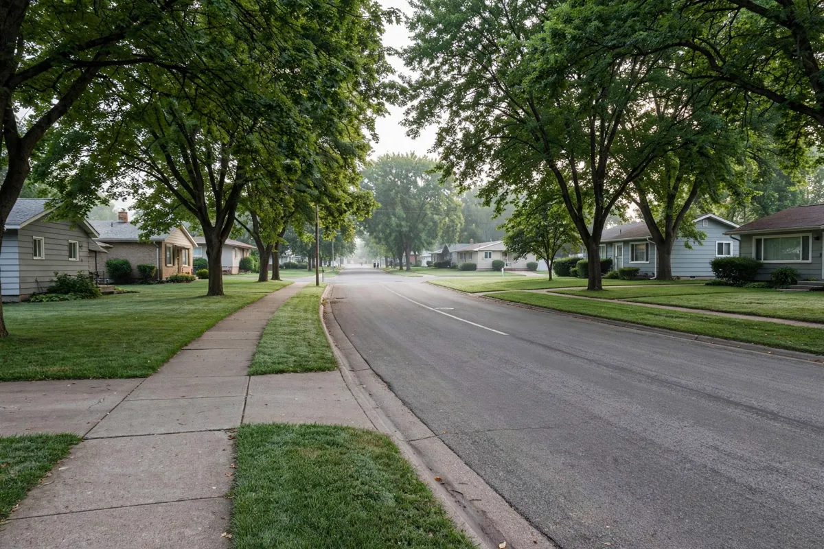
Getting oriented in Roseville
Roseville’s official maps are the best starting point for understanding the city’s layout. The city map page links to a street map and address atlas, as well as maps for pathways, parks and open space, park details and park facilities.
Roseville was incorporated in 1948, when its population was 4,600. The community grew substantially during the building boom of the 1950s and 1960s. Today, the city’s profile describes a network of 32 parks covering 679 acres and identifies 67 miles of trails.
For a broad outdoor destination, Central Park covers 225 acres and is Roseville’s largest park. Its named areas include Harriet Alexander Nature Center, the Muriel Sahlin Arboretum and the Lexington, Dale, North and Victoria sections. The city describes the nature center as 52 acres of marsh, prairie, and deciduous and pine forest.
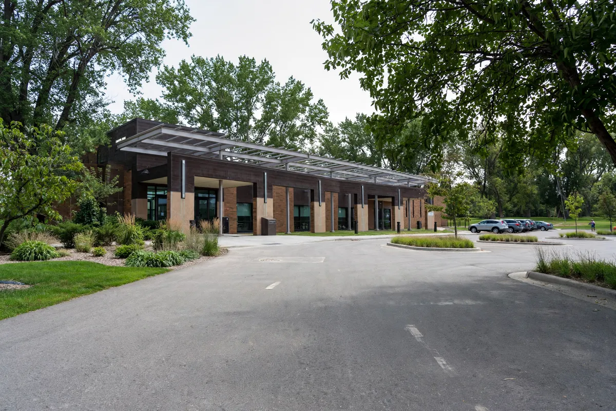
Local services and visitor stops
Roseville’s “Around Roseville” guide brings together practical resources and destinations, including City Hall, the Ramsey County Library, the license center, visitor information, restaurants and shopping. It also identifies Cedarholm Golf Course, Harriet Alexander Nature Center, Muriel Sahlin Arboretum, parks and lodging.
Rosedale Center is a regional shopping mall that the city describes as covering 1.2 million square feet. For a nature stop, the Muriel Sahlin Arboretum is an 8-acre site in Central Park with themed gardens, walkways, a water fountain and architectural features.
City Hall is at 2660 Civic Center Drive, Roseville, MN 55113-1899. The city street map gives public counter hours as Monday through Friday, 8:00 AM to 4:30 PM; check the City of Roseville’s official site before you go.
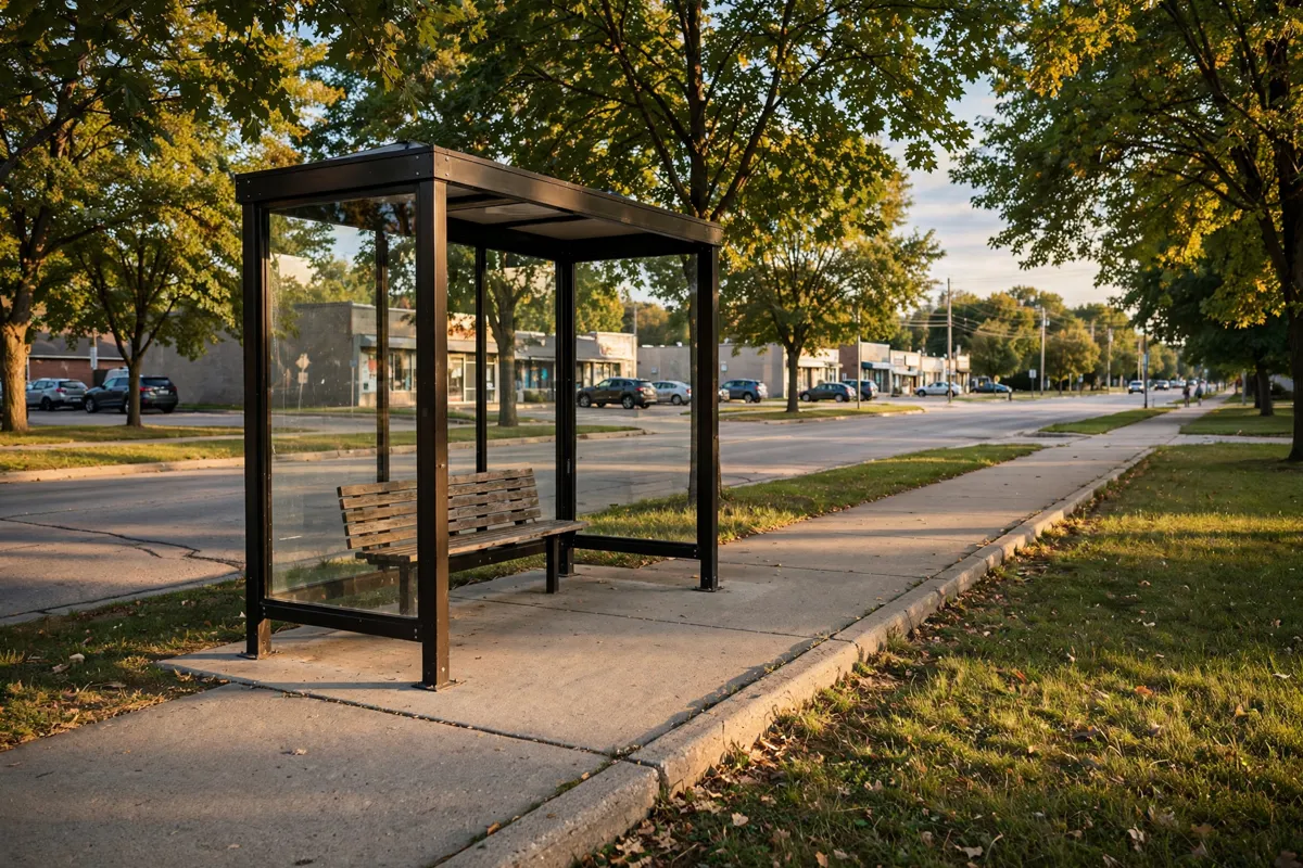
Getting around Roseville without assuming a car
Roseville has a sizable pathway network and several transit options, so you can plan some trips without driving. The city says it owns and maintains approximately 91 miles of pathways, including trails, sidewalks and off-road paths, and provides a map showing their locations.
Metro Transit routes 223, 225 and 227 operate in Roseville. The A Line connects Rosedale Center with 46th Street Station in Minneapolis. Metro Micro serves the Roseville area with door-to-door shared rides in ADA-accessible minibuses, with transfers to the A Line at Rosedale Transit Center or to local and express routes within its service area.
Before setting out, check Metro Transit’s route pages or Trip Planner for routes and times, and confirm current fare information. The city also says bicycles are allowed on all roadways; cyclists riding in the street must follow the same rules as motor-vehicle operators.
Motorized-bike and scooter riders must be at least 12 years old. Riders under 18 must wear a helmet, and scooters are not permitted on Roseville sidewalks or trails.
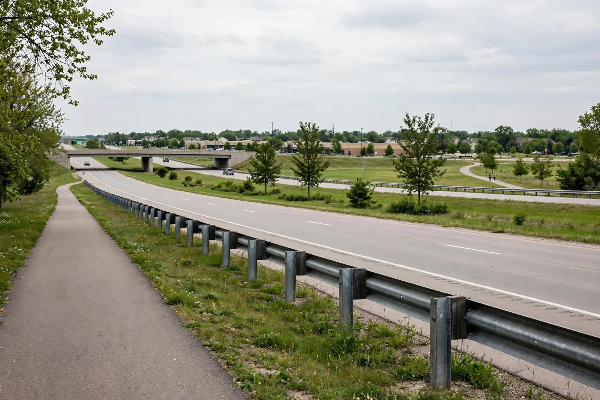
Planning trips to nearby Minneapolis and Saint Paul
Roseville’s position just north of Minneapolis and Saint Paul, with access from Interstates 35W and 35E and Minnesota Highway 36, makes it a useful point for planning trips across the Twin Cities area.
For transit, the A Line provides a connection from Rosedale Center to 46th Street Station in Minneapolis; Metro Micro can connect with the A Line at Rosedale Transit Center.
If you’re planning a visit around a particular destination, check its location against the city’s street and pathway maps first. Roseville’s visitor guide also identifies local parks, restaurants, shopping and visitor information, which can help you pair an outing with nearby services.
Practical details for parks and pathways
Central Park has several named areas and access points, so use the city’s park directory to choose the right destination. Harriet Alexander Nature Center is at 2520 Dale Street North; Central Park-Lexington is at 2540 Lexington Avenue North; and Central Park-Victoria West is at 2495 Victoria Street North.
Frank Rog Amphitheatre is at 2540 Lexington Avenue North, within Central Park along Lake Bennett and closest to the Lexington Avenue entrance. The city identifies free parking at the Central Park-Lexington lot, Central Park Victoria West, Central Park Victoria Ballfields and Roseville City Hall.
The city’s Parks and Recreation Department clears snow from city-maintained pathways. Its pathway snow-removal map shows who maintains each route, so check it when conditions may affect your plans.
FAQs
How do you get around Roseville by public transit?
Metro Transit routes 223, 225 and 227 operate in Roseville. Metro Micro provides door-to-door shared rides in its service area, and you can use the city’s guidance to check connections and current route information.
What is there to do at Central Park in Roseville?
Central Park includes Harriet Alexander Nature Center, the Muriel Sahlin Arboretum and several named park sections. The arboretum has themed gardens and walkways, while Frank Rog Amphitheatre is located along Lake Bennett.
How can you plan a visit to the Minnesota State Fairgrounds?
Use the Minnesota State Fairgrounds visitor guide for information on tickets, parking and getting there.
What other Twin Cities destinations can you plan from Roseville?
For an outdoor outing, the Como Regional Park guide covers its gardens, lake and visitor planning.
If you’re arriving by air, the MSP airport transportation guide focuses on getting to Roseville.