

The University of Minnesota Twin Cities campus is spread across East Bank, West Bank and St. Paul, with maps and visitor information to help you plan a visit. Start by identifying the campus area and building you need; then check parking, accessibility and transit options for that destination.
- Campus areas: East Bank, West Bank and St. Paul.
- Scale: The campus spans five miles from east to west.
- Maps: Interactive and PDF campus maps include building locations and hours.
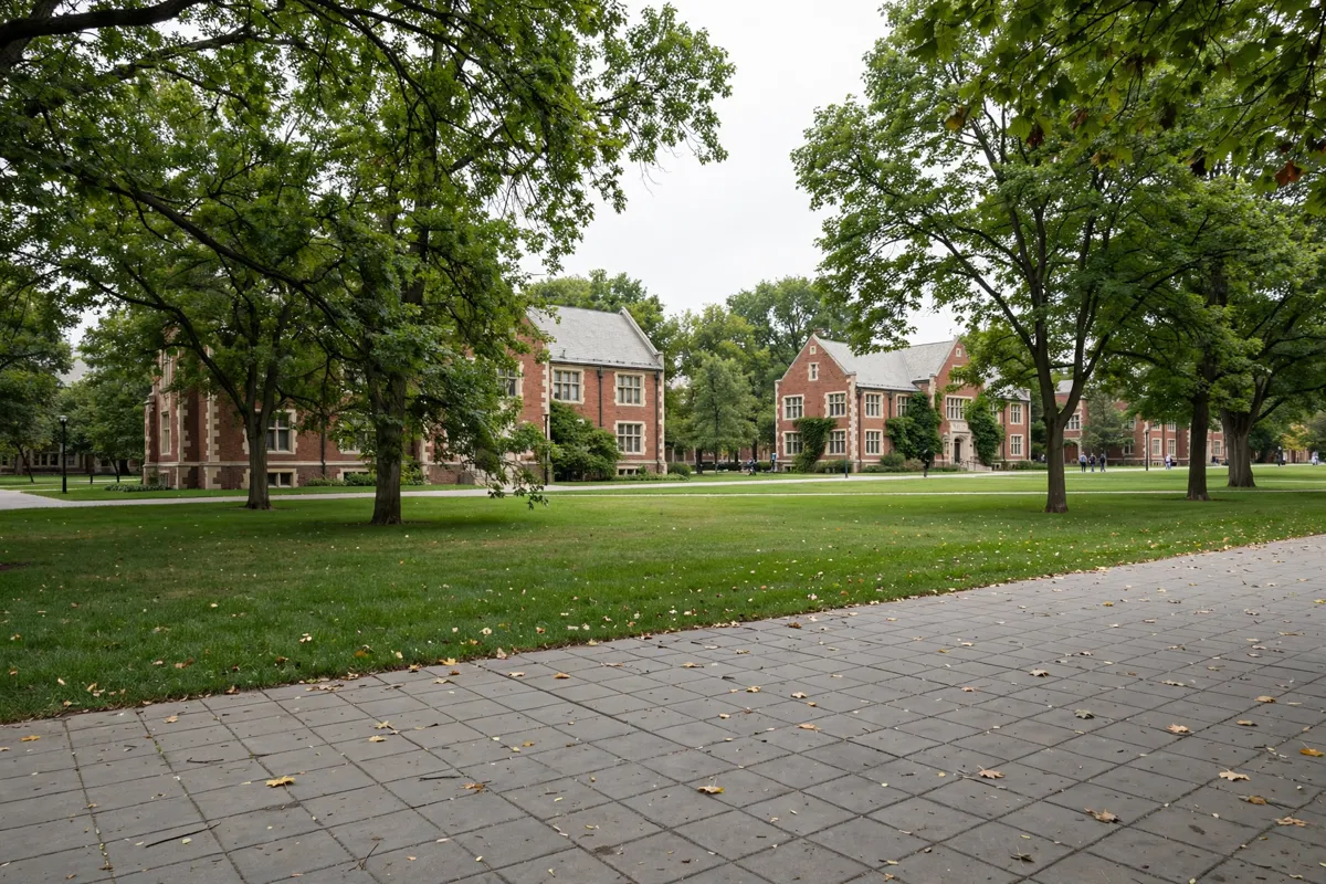
Understanding the Twin Cities campus
The University of Minnesota Twin Cities campus has three areas: East Bank, West Bank and St. Paul. Together, they span five miles from east to west, so it helps to confirm which area contains your destination before you set out.
Think of the campus as a collection of connected districts rather than one compact site. If you have an appointment or event, use its building name to locate the right area and plan your arrival around that specific address.
For a separate stop at Augsburg University, its campus map and visitor information can help you plan around that destination.
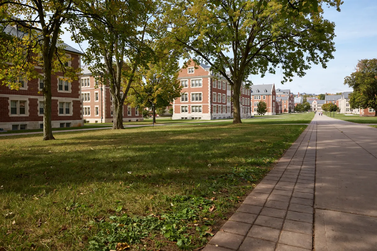
Campus maps and visitor destinations
The university’s Campus Maps site provides interactive and PDF maps for locating buildings and checking building hours. Its resources also cover destinations, accessibility, parking, bus routes and stops, biking, study spaces and the Gopher Way.
Use the destination maps to find libraries, eateries and sports venues, or to locate all-gender restrooms, lactation spaces and wellness rooms. The Gopher Way map shows tunnels and skyways, but accessibility varies by route. An active U Card is required to access the Gopher Way system and university buildings.
If your plans include a game, the maps can help you locate sports venues before you consult this Huntington Bank Stadium arrival and parking guide.
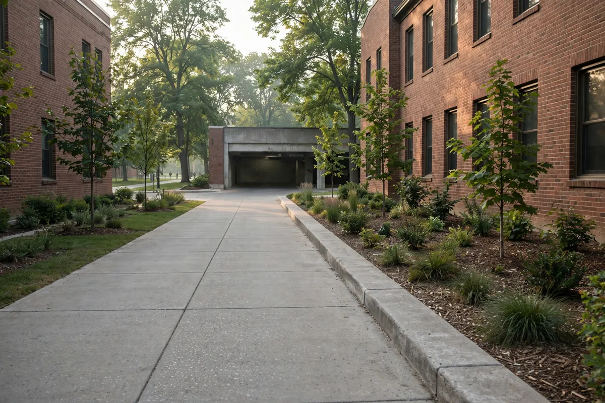
Parking, access and campus services
Public parking facilities are available on East Bank, West Bank and the St. Paul campus, including Church Street Garage, Washington Avenue Ramp, Fourth Street Ramp and Gortner Avenue Ramp. Regular public parking rates are $3.00 per hour on weekdays from 9:00 a.m. to 3:00 p.m. and $1.00 per hour at all other times.
Daily maximums range from $15.00 to $20.00, depending on the facility; value parking has a $6.00 daily maximum. Event parking prices depend on the event and location, so ask your event host for the applicable rate.
University meters have a maximum parking time of two hours, and the minimum credit-card charge is one hour. Rates and parking arrangements can change, so check the official site before you go.
For Northrop Auditorium, Church Street Garage and Fourth Street Ramp are designated accessible-parking options. Accessible entrances are on the east, south and west sides of the auditorium; a temporary passenger loading area with a no-elevation entrance is on the east side.
Visitors can also use free walking escorts to campus locations and nearby neighborhoods. The university lists the escort service as available 24/7.
Weisman Art Museum Garage has a $20.00 daily parking maximum, and this Weisman Art Museum visitor guide covers its visitor details.
How do you get to campus from Roseville?
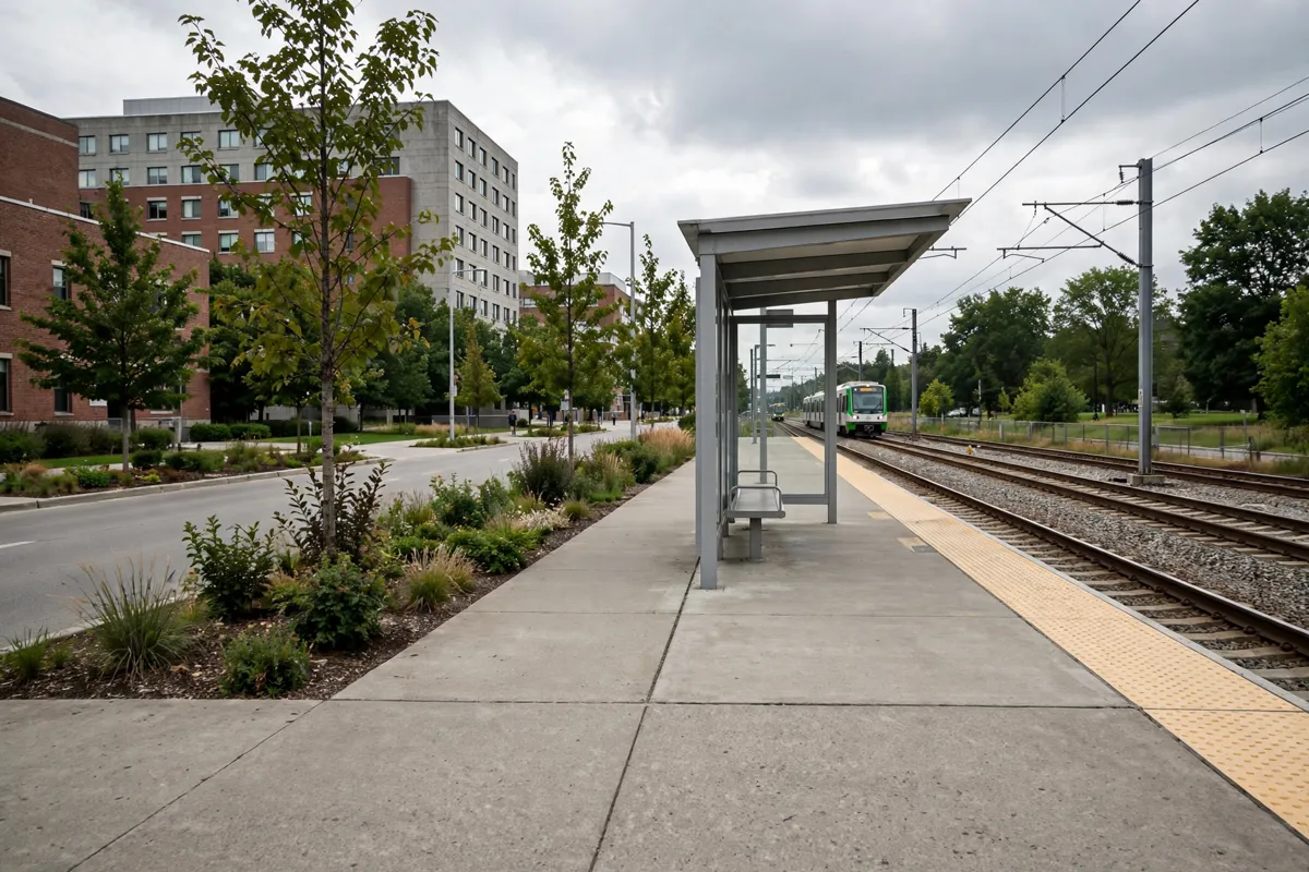
If you are using public transit, plan around your destination rather than assuming every route serves every campus area.
For Jones Hall, take the Green Line to the U of M East Bank Station, walk west on Washington Avenue to Church Street, then continue north to Pillsbury Drive and Williamson Hall. Consult Metro Transit for current routes and service information.
The university also provides campus transit information, including the Campus Connector, St. Paul Circulator and Campus Express. Schedules can change; campus buses can be tracked in real time through the GopherTrip app, which also carries rider alerts.
Planning around events and appointments
For an appointment, confirm the building and campus area first, then choose a route and parking plan that match the destination. For an event, ask the host about parking prices because event rates depend on the event type and location.
Huntington Bank Stadium is about an 11-minute drive from Key Inn Roseville. For a campus visit, a Roseville room for your University of Minnesota stay offers a place to stay while you visit.
FAQs
How many areas make up the University of Minnesota Twin Cities campus?
The campus is divided into East Bank, West Bank and St. Paul, and spans five miles from east to west.
Where can you find University of Minnesota campus maps?
The university’s Campus Maps site offers interactive and PDF maps, including building locations and hours.
Does the Gopher Way provide access to campus buildings?
The Gopher Way map covers campus tunnels and skyways. Accessibility varies by route, and an active U Card is required to access the system and university buildings.
How can you check campus bus service?
Consult the university’s campus transit information and Metro Transit for current service details. The GopherTrip app provides real-time campus bus tracking and rider alerts.